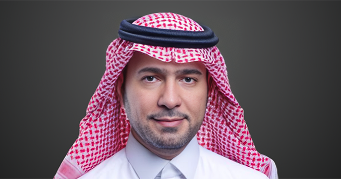
Saudi Minister of Municipalities and Housing, Majed Al-Hogail
Saudi Minister of Municipalities and Housing, Majed Al-Hogail said that the completion of the preliminary master plan for the Northeast Riyadh area further supports the capital’s urban development journey. 
In a post on his account on the “X” platform, Al-Hogail added that the plan is based on a vision that puts people first, through integrated planning that brings housing closer to services, connects neighborhoods with efficient transport networks, and prepares future growth centers that support economic diversification and reinforce Riyadh’s prosperity and the sustainability of its growth.
The Royal Commission for Riyadh City (RCRC) announced yesterday it completed the preliminary master plan for a 456-square-kilometer (sq km) area northeast of Riyadh, near King Khalid International Airport, Wadi Al Sulay and the Dammam and Al Janadriyah roads, as per Argaam’s data.
The plan outlines proposed land uses under a long-term urban model supporting phased expansion, with integrated communities combining housing and daily services alongside a balanced mix of residential, commercial, recreational and natural areas.
Saudi Minister of Municipalities and Housing, Majed Al-Hogail
Saudi Minister of Municipalities and Housing, Majed Al-Hogail said that the completion of the preliminary master plan for the Northeast Riyadh area further supports the capital’s urban development journey.
In a post on his account on the “X” platform, Al-Hogail added that the plan is based on a vision that puts people first, through integrated planning that brings housing closer to services, connects neighborhoods with efficient transport networks, and prepares future growth centers that support economic diversification and reinforce Riyadh’s prosperity and the sustainability of its growth.
The Royal Commission for Riyadh City (RCRC) announced yesterday it completed the preliminary master plan for a 456-square-kilometer (sq km) area northeast of Riyadh, near King Khalid International Airport, Wadi Al Sulay and the Dammam and Al Janadriyah roads, as per Argaam’s data.
The plan outlines proposed land uses under a long-term urban model supporting phased expansion, with integrated communities combining housing and daily services alongside a balanced mix of residential, commercial, recreational and natural areas.